A carefully designed journey through the Tibetan Plateau of Western Sichuan — combining snow mountains, alpine grasslands, hidden Tibetan villages, and slow-paced road trip experiences along the legendary G318 Highway.
This route is beginner-friendly for high-altitude travel. Three nights in the same Xinduqiao base allow deeper regional exploration without constant hotel changes. The pace is intentional — this is a road trip, not a checklist.
Perfect for
- First-time high-altitude travelers wanting a beginner-friendly plateau experience
- Photography enthusiasts and drone flyers chasing golden light and snow peaks
- Those drawn to Tibetan culture, monastery life, and open plateau landscapes
- Couples, friends, and small groups who prefer scenic drives over fixed sightseeing stops
- Travelers comfortable with mountain roads and changing weather
| Day | Route | Drive | Altitude |
|---|---|---|---|
| Day 1 | Chengdu → Kangding → Honghaizi Lake → Gedilam → Xinduqiao | ~390 km | 500m → up to ~4,200m → overnight ~3,400m |
| Day 2 | Xinduqiao → Tibetan Buddhist Monastery → Jiagenba Valley → Mount Gongga Viewpoint → Xinduqiao | ~100 km | Up to ~4,700m; overnight ~3,400m |
| Day 3 | Tagong Grassland → Gunong Village → Muya Monastery → Xinduqiao | ~120 km | ~3,700m; overnight ~3,400m |
| Day 4 | Mount Yala Viewpoint → Moshi Stone Park → Jiaju Tibetan Village, Danba | ~200 km | Down to ~1,800m; overnight Danba ~1,800m |
| Day 5 — Option 1 | Scenic Route: Jiaju Tibetan Village → Mount Siguniang → Balang Mountain Tunnel → Chengdu | ~365 km | Up to ~3,200–3,840m → descend to Chengdu |
| Day 5 — Option 2 | Special Local Experience: Jiaju Tibetan Village → Local Market → Tibetan Home Cooking → Danba → Chengdu | ~350 km | ~1,800m (Danba) → descend to Chengdu |
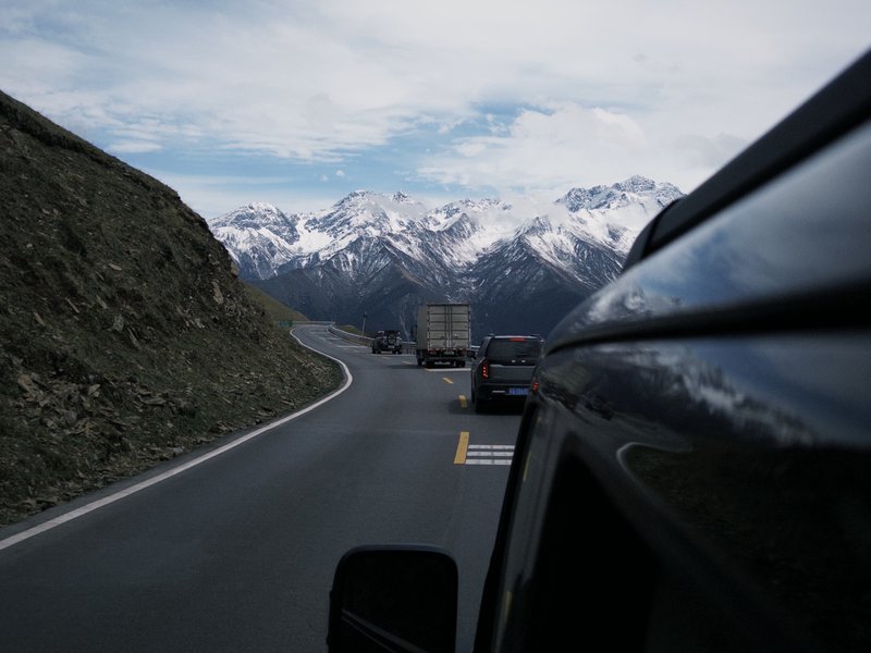
We leave Chengdu in the late morning and gradually ascend from the Sichuan Basin into the mountains of Western Sichuan along the famous G318 Highway — often called China's Route 66 for its epic landscapes and road-trip culture. Along the way, we pass through Kangding, the traditional gateway town to the Tibetan Plateau, where the Han Chinese lowlands and Tibetan highlands have met for centuries.
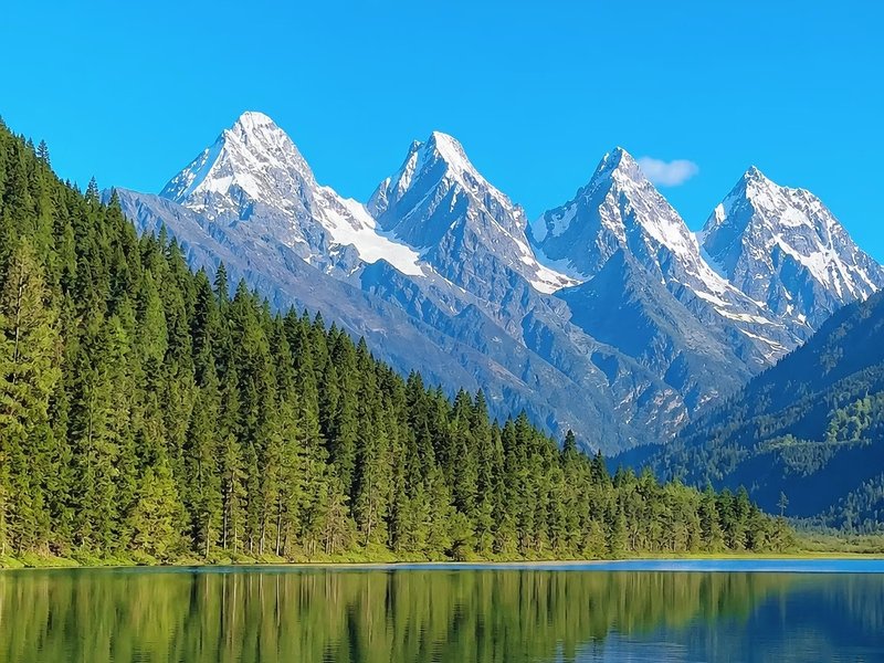
After crossing mountain passes, we arrive at Honghaizi Lake, a peaceful alpine lake surrounded by snow peaks and grasslands — one of the most photogenic hidden spots in the region. Toward sunset, we continue to Gedilam viewpoint, known locally as the "Sky City," where panoramic views open across endless mountain ranges and highland meadows.
Tonight we stay in Xinduqiao, a Tibetan town known for its golden light, wide valleys, and relaxed atmosphere. For the next three nights, this is our base.
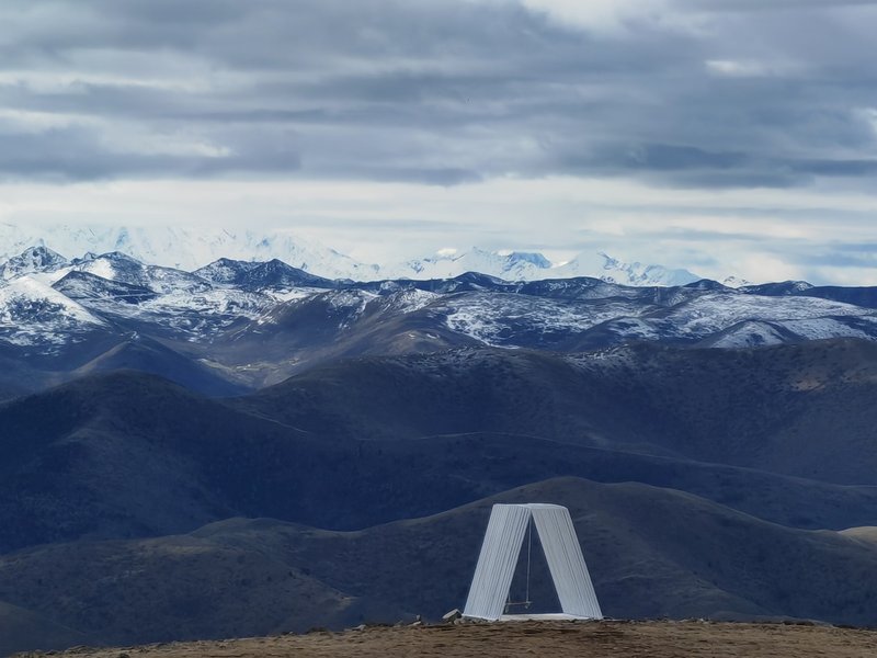
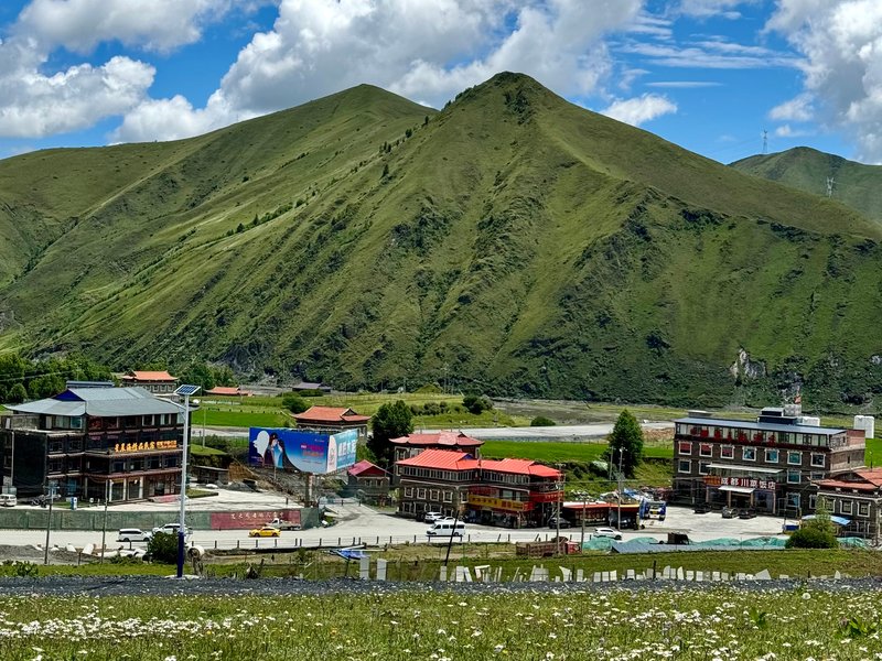
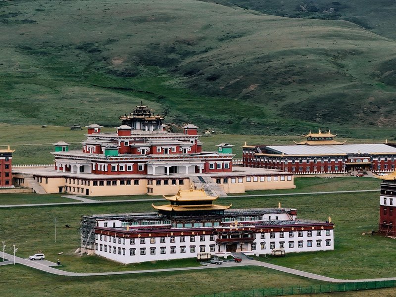
Today is intentionally slower and more immersive. We begin with a visit to a small Tibetan Buddhist monastery near Xinduqiao, a quiet introduction to plateau religious life before heading into the valleys.
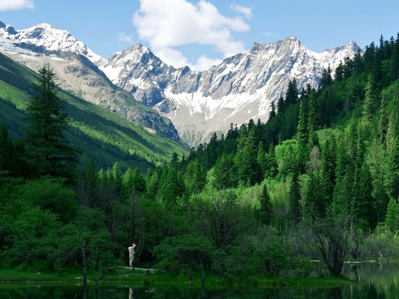
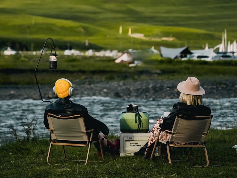
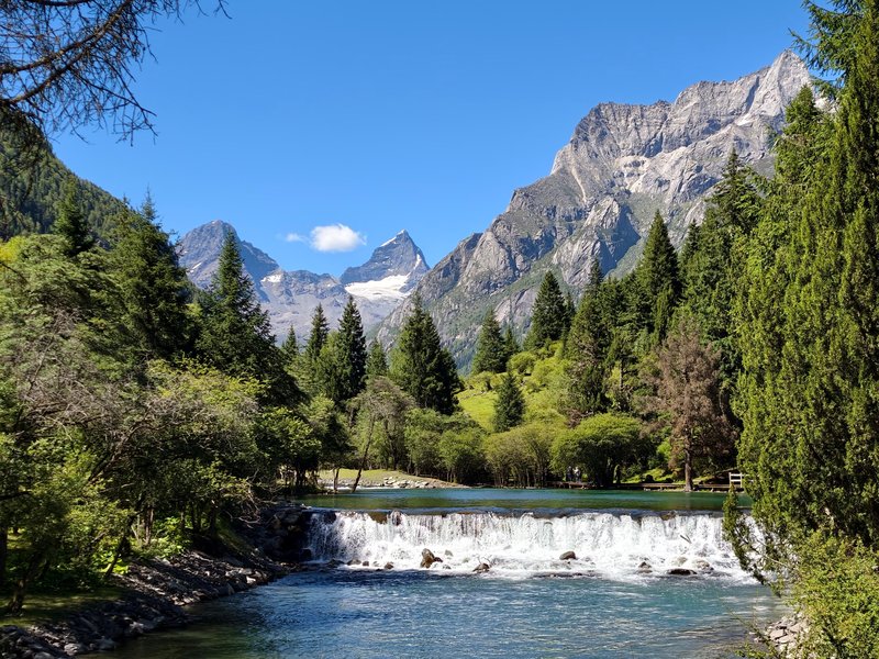
In the morning, we explore the hidden valleys around Jiagenba, where streams wind through grasslands beneath snow-covered peaks. Depending on weather and season, we may stop for a curated outdoor coffee or premium picnic with local snacks.
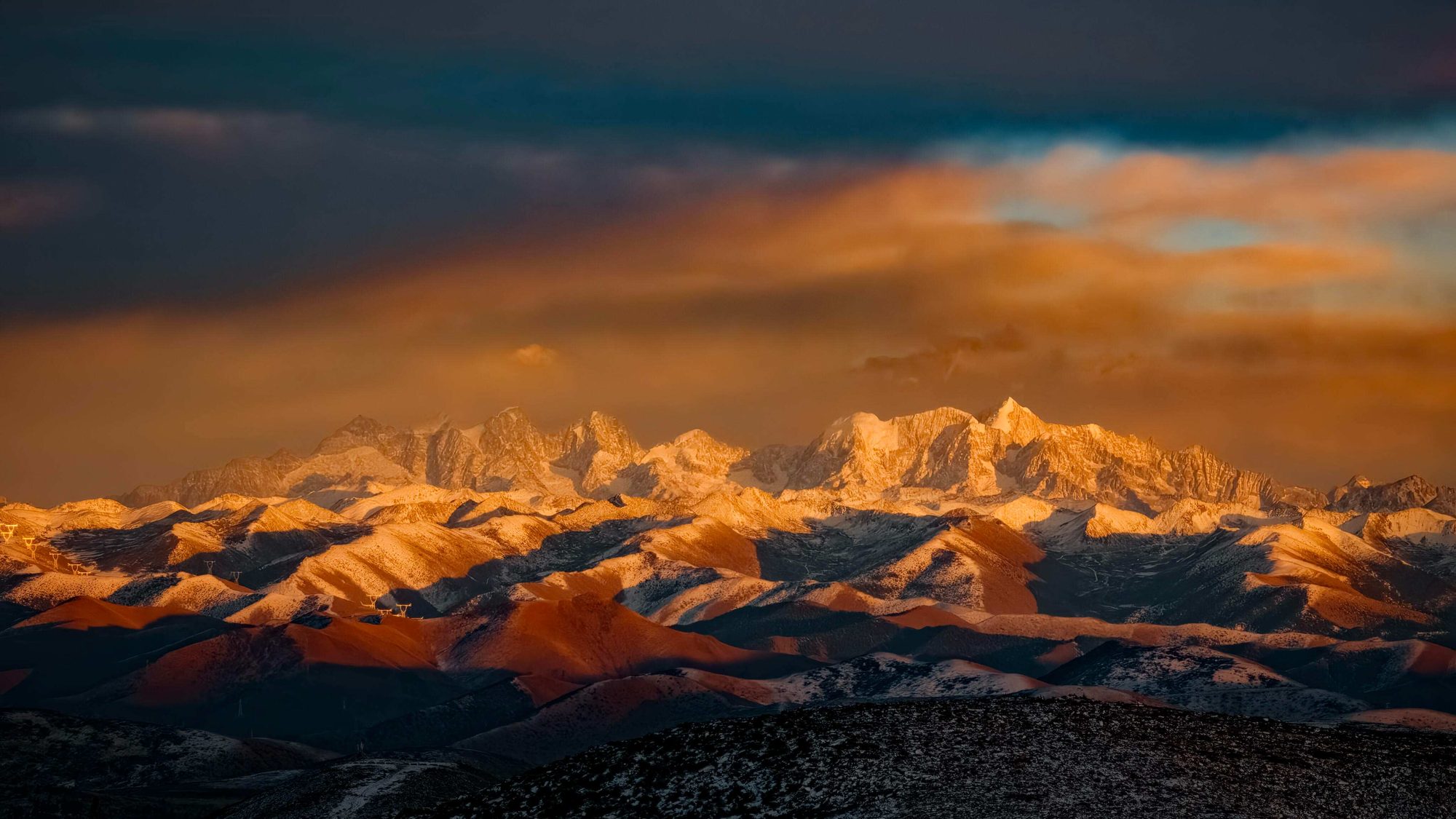
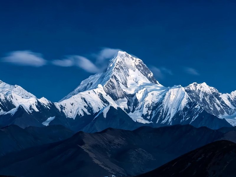
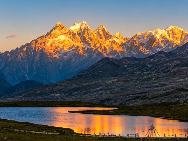
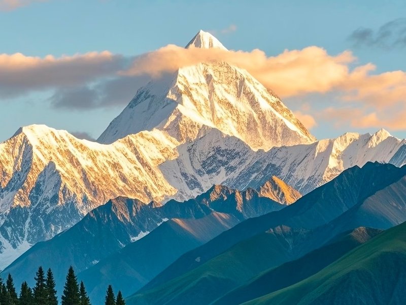
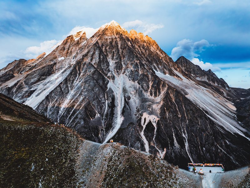
In the afternoon, we head toward the Mount Gongga Viewpoint near Muyacuo / Tinong Valley — one of the best lesser-known spots for seeing Mount Gongga (Minya Konka), the highest mountain in Sichuan at 7,556m. As the sun sets, the snow peaks gradually turn gold. One of the most iconic moments of the Tibetan Plateau.
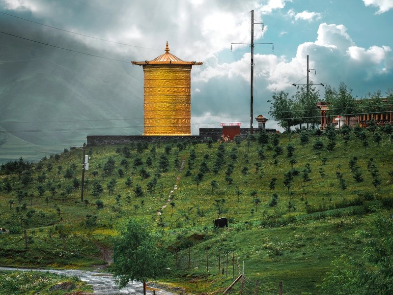
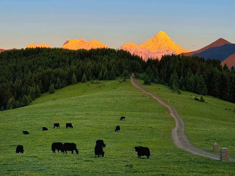
Today focuses on Tibetan culture and open plateau landscapes. We begin in Tagong Grassland, where herds of yaks graze beneath the sacred Yala Snow Mountain. White stupas, prayer flags, and traditional Tibetan homes create one of the most iconic cultural landscapes in Western Sichuan.
We then visit Lhagang Monastery (Tagong Monastery), a peaceful Tibetan Buddhist monastery surrounded by grasslands and mountains. In the afternoon, we continue to Gunong Village, a quiet Tibetan settlement facing Yala Snow Mountain — a relaxed walk by the river, a visit to local cafés, or simply the slower rhythm of plateau life.
Before returning, we stop at Muya Monastery, representing the distinct Muya Tibetan culture of this part of the plateau — a quieter, less-visited counterpart to Lhagang.
Tonight we return to the same hotel in Xinduqiao — no unnecessary hotel changes, keeping the journey comfortable.
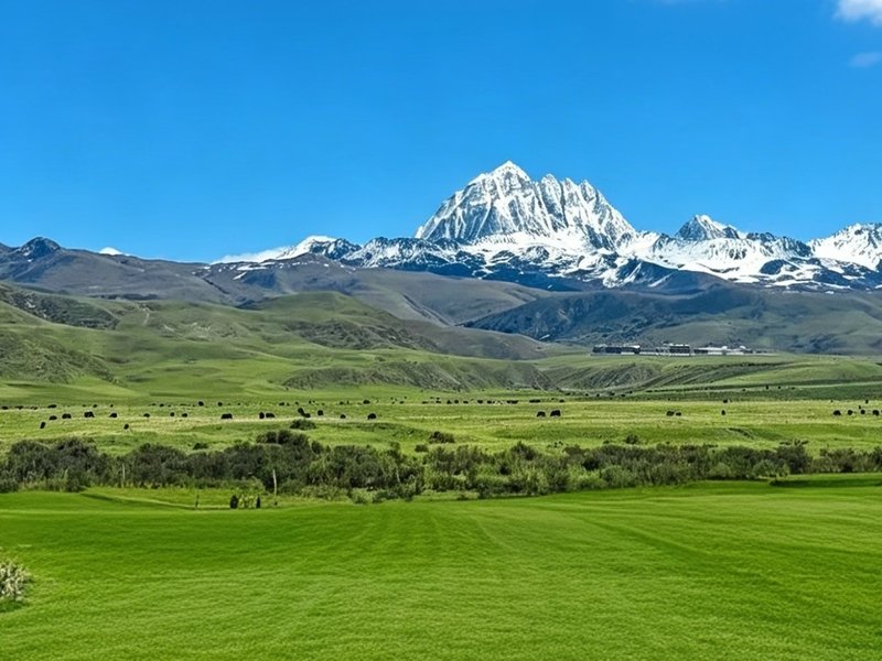
We start the day at the Mount Yala Viewpoint — the same sacred snow peak seen from Tagong Grassland on Day 3, now viewed up close from a dedicated vantage point.
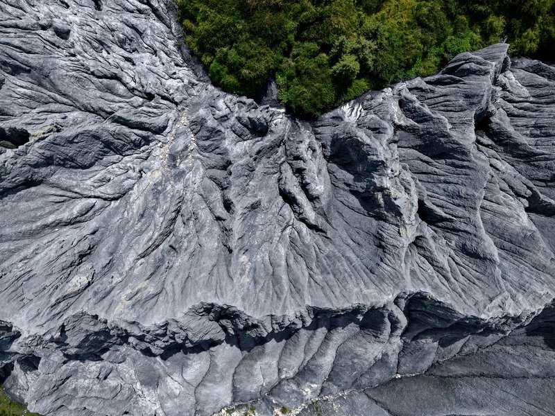
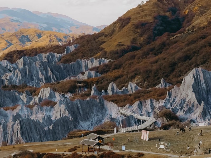
From there we continue to Moshi Stone Park, a geological wonder of dramatic high-altitude dark rock formations that create an almost surreal, cinematic landscape — unlike anywhere else in China.
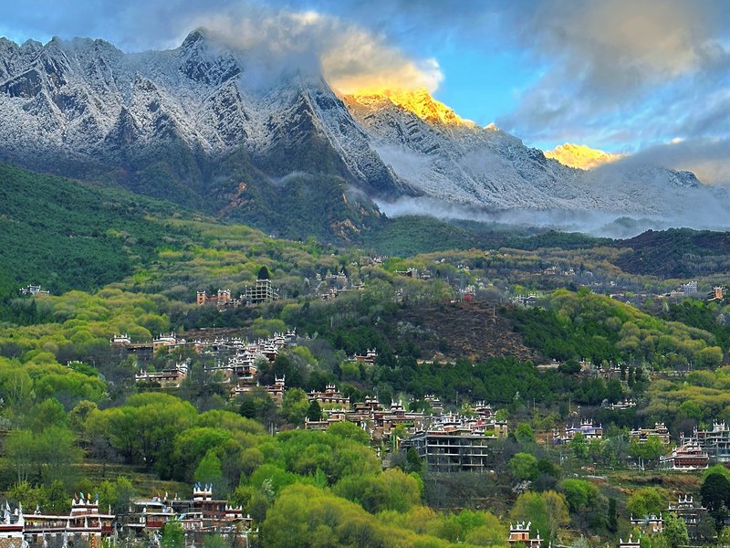
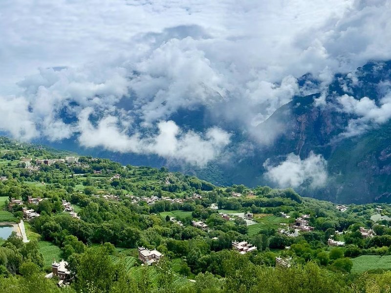
We then continue along one of the most scenic mountain roads in Western Sichuan, passing Tibetan valleys and panoramic viewpoints toward Jiaju Tibetan Village, one of the most photogenic watchtower villages in the Danba region, with traditional stone houses scattered across a terraced hillside. The descent into the Danba river valley drops altitude dramatically — the dense lower air feels noticeably different after days on the plateau.
Tonight we stay in Danba at around 1,800m. Many travelers feel more comfortable here after several days at higher altitude.
Day 5 offers two different ways to end the trip. Let your guide know which one you'd prefer when booking — both return to Chengdu the same evening.
Option 1 — Scenic Route: Jiaju Tibetan Village → Mount Siguniang → Balang Mountain Tunnel → Chengdu. We travel on to the Siguniang Mountain region — often referred to as the Alps of China — and explore Shuangqiao Valley using the park's eco-shuttle system, taking in glacier valleys, pine forests, rivers, and snow mountain viewpoints without requiring difficult hiking. Weather permitting, Maoni Ridge Viewpoint offers a panoramic view of the four Sister Peaks — the highest, Yaomei Peak, reaches 6,250m. In the afternoon, we cross Balang Mountain Tunnel and descend back toward Chengdu.
Option 2 — Special Local Experience: Jiaju Tibetan Village → Local Market → Tibetan Home Cooking → Danba → Chengdu. For travelers who'd rather trade another mountain viewpoint for genuine local life, this option spends the morning in Danba visiting a local market with your guide, followed by a hands-on Tibetan home cooking experience — learning to prepare local dishes in a Tibetan household before the drive back to Chengdu. A more free-form, culturally immersive way to close out the trip.
- Comfortable private vehicle with an experienced local driverFuel, tolls and road expenses included.
- Arrival transfer in ChengduPick-up from Chengdu Shuangliu Airport or railway station to your hotel.
- Entrance tickets to all scenic areas listed in the itinerary
- 4 nights of carefully selected accommodation based on your chosen package
- Daily hotel breakfastBreakfast included at your accommodation each morning.
- Travel photographyDrone footage included where weather, location and local regulations allow.
- Portable oxygen supply — one canister per person per day
- English-language support: digital audio guides plus 24/7 WhatsApp text assistance throughout the trip
- English-speaking guide available depending on your chosen packageA private English-speaking guide can be arranged as an optional upgrade.
- Additional in-scenic-area transportation and optional activitiesSuch as local motorbike rides, horse riding, etc.
- Lunches and dinnersMeals are left flexible so you can choose what and where you would like to eat.
- Personal expensesSuch as BBQs, souvenirs and other personal purchases.
- Travel insurance
Three nights in one base
Staying in Xinduqiao for three nights eliminates constant hotel changes and allows deeper exploration of the surrounding valleys, grasslands, and villages at a natural pace.
Hidden locations, not tourist crowds
Jiagenba Valley, Moshi Stone Park, Gunong Village — these are places most group tours skip. The route focuses on quieter, more authentic spots beyond the standard sightseeing circuit.
Beginner-friendly altitude
Altitude increases are gradual, high viewpoints are visited briefly and without intense physical effort, and a lower-altitude night in Danba provides natural recovery before the final day.
Built for photographers and drone flyers
Golden hour at Gedilam, Gongga sunset from Muyacuo, drone-perfect highland meadows at Tagong, and the still waters of Honghaizi — the itinerary is paced around the best light.
Clothing
- Down jacket or shell jacket
- Comfortable walking or hiking shoes
- Warm base layers
- Hat, gloves, and sunglasses
Daily Essentials
- Sunscreen (high-altitude UV is intense)
- Lip balm (high-altitude air is very dry)
- Portable charger / power bank
- Reusable water bottle
For the Plateau
- Camera / drone equipment
- Light snacks or energy bars
- Rain gear for mountain weather
- Small day pack / backpack
Health & Safety
- Motion sickness tablets
- Altitude sickness tablets (consult doctor)
- Personal medications
- Some cash for remote areas
Ready to discover the hidden side of Western Sichuan?
Message us with your travel dates and group size — we'll send you a full quote and details within a few hours.