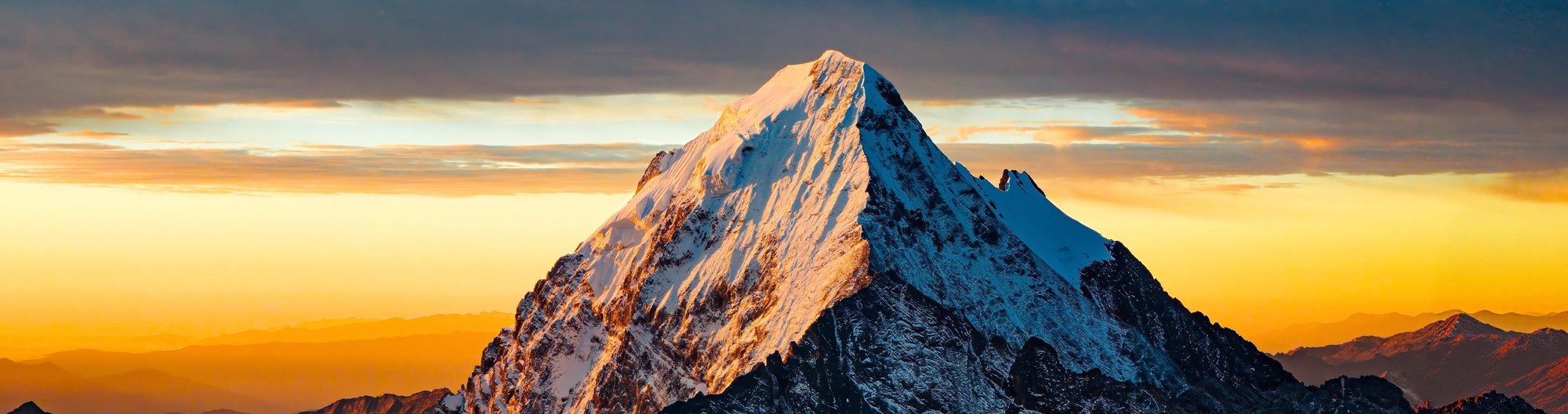
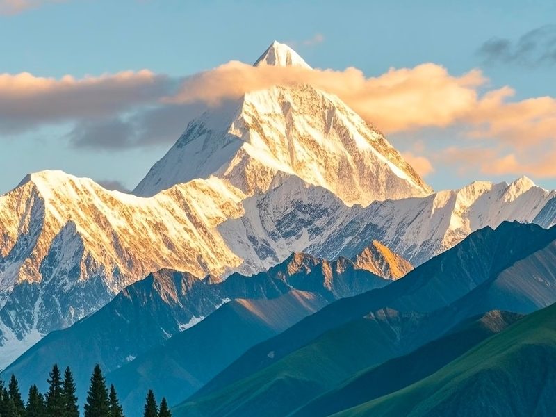
A deeper overland journey through the Tibetan Plateau of Western Sichuan — combining sacred snow mountains, remote Tibetan culture, high-altitude landscapes, and one of China's most iconic alpine destinations: Yading Nature Reserve.
Compared with shorter routes, this itinerary moves at a slower pace and allows more time to experience the landscapes beyond the roadside viewpoints. Yading's three sacred peaks — revered in Tibetan Buddhism and among the most dramatic mountain scenery in China — are the centerpiece of the journey.
Perfect for
- Travelers who want a deeper, more immersive plateau experience than a standard itinerary
- Those seeking dramatic mountain scenery and authentic Tibetan cultural encounters
- Hikers comfortable with high-altitude trails — with adjustable intensity options
- Photography-focused travelers with 7 days to explore beyond the roadside
- Adventurous couples, friends, and small private groups
| Day | Route | Drive | Altitude |
|---|---|---|---|
| Day 1 | Chengdu → Tianquan (318 Service Area) → Kangding → Honghaizi Lake → Gedilam → Xinduqiao | ~390 km | 500m → Kangding ~2,560m → up to ~4,200m → overnight ~3,400m |
| Day 2 | Xinduqiao → Eighteen Bends of Tianlu → Rabbit Mountain Pass → Haizi Mountain → Shangri-La Town | ~420 km | Up to ~4,696m; overnight ~2,900m |
| Day 3 | Yading Nature Reserve — Luorong Pasture, sacred peaks, alpine lakes | Park shuttle | Up to ~4,700m; overnight ~2,900m |
| Day 4 | Shangri-La Town → Litang (Letong Ancient Town & Changchun Ke'er Monastery) → Xinduqiao | ~420 km | Litang ~4,000m; passes ~4,000–4,700m; overnight ~3,400m |
| Day 5 | Xinduqiao → Jiagenba Valley → Mount Gongga Viewpoint → Xinduqiao | ~110 km | Up to ~4,700m; overnight ~3,400m |
| Day 6 | Tagong Grassland → Muya Monastery → Moshi Park → Jiaju Tibetan Village, Danba | ~265 km | ~3,600–3,700m; overnight ~1,800m (Danba) |
| Day 7 | Jiaju Tibetan Village → Siguniang Mountain → Balang Mountain Tunnel → Chengdu | ~230 km | ~1,800m → ~3,200–3,840m → descend to Chengdu |
We leave Chengdu in the late morning and head west along the famous G318 Highway — often called China's Route 66 for its epic landscapes and road-trip culture. The first stop is the Tianquan 318 Highway Service Area, a well-known roadside landmark for travelers heading into Western Sichuan.
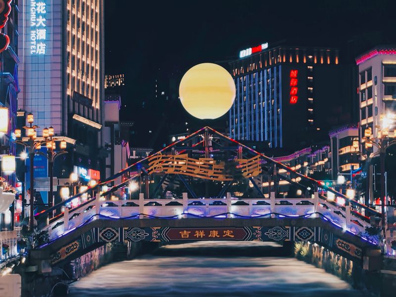
We continue to Kangding (~2,560m) — the gateway city between the Sichuan Basin and the Tibetan Plateau, where Han and Tibetan cultures visibly converge. A short stop here gives a first impression of high-altitude town life before the road climbs further into the mountains.
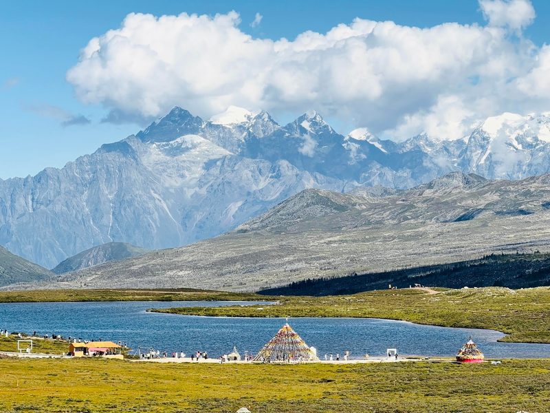
We stop at Honghaizi Lake, a hidden alpine lake surrounded by snow peaks and open grasslands — one of the most photogenic landscapes in the region. Toward sunset, we continue to Gedilam viewpoint, known among local travelers as the "Sky City," where panoramic views stretch across mountain ranges and alpine meadows.
Tonight we stay in Xinduqiao, a Tibetan town famous for its dramatic natural light and relaxed atmosphere — our base on the outbound and return legs of the journey.
Today we travel deeper into the Tibetan Plateau, breaking the journey with scenic photo stops and breaks every 2–3 hours.
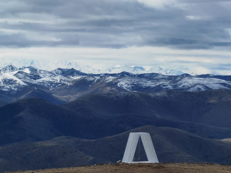
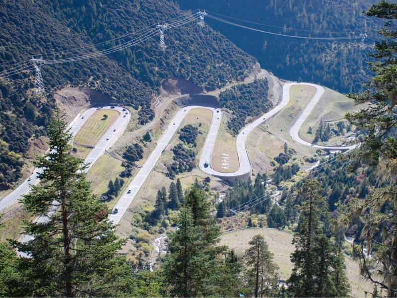
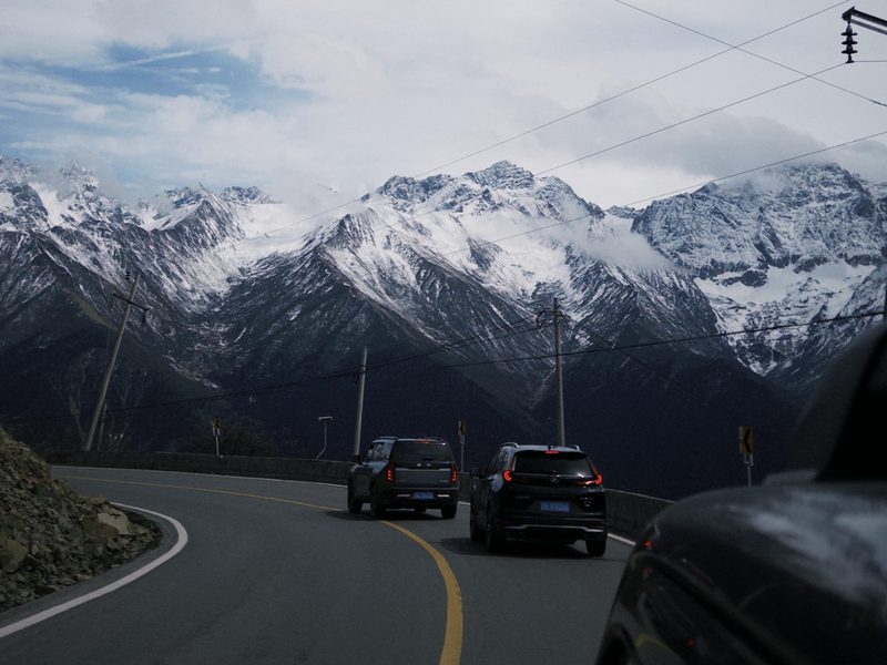
The road takes us through the famous Eighteen Bends of Tianlu — a series of dramatic switchbacks carved into the mountainside, offering sweeping views of the valley below and a taste of what plateau road travel really feels like. We then cross Rabbit Mountain Pass, where dramatic rocky landscapes and sweeping plateau views create a surreal atmosphere.
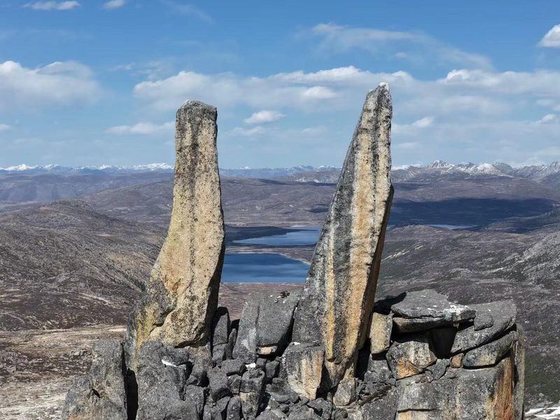
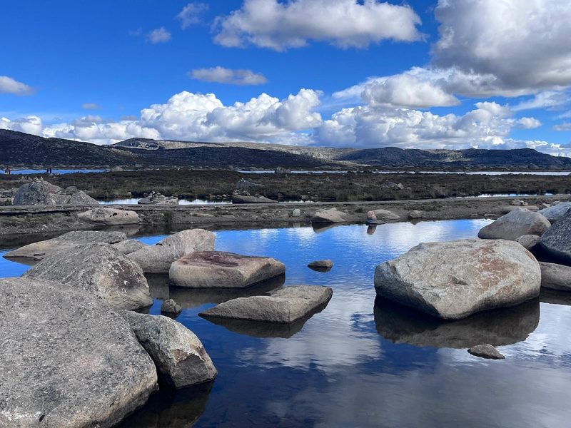
Later, we pass through the Haizi Mountain area, a high-altitude plateau dotted with glacial lakes and wide open skies — one of the most otherworldly landscapes on the route. The road here feels genuinely remote.
By evening, we descend to Shangri-La Town (~2,900m) — the significant drop in altitude ensures restful sleep before tomorrow's full day in Yading.
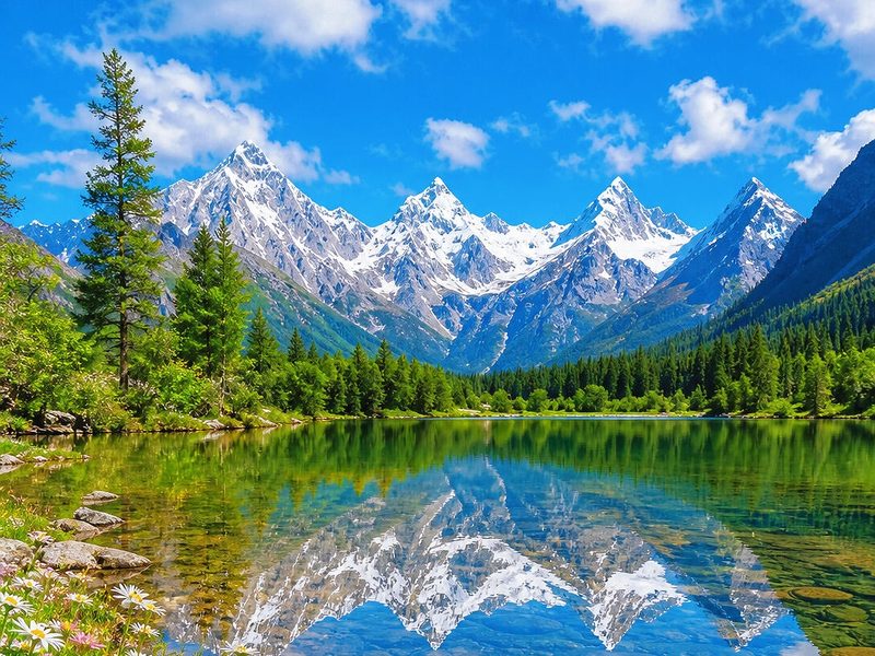
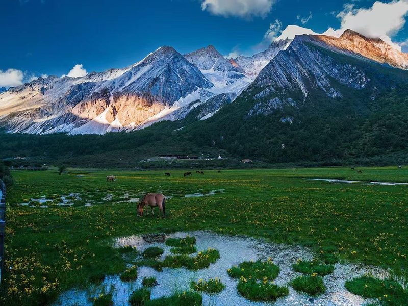
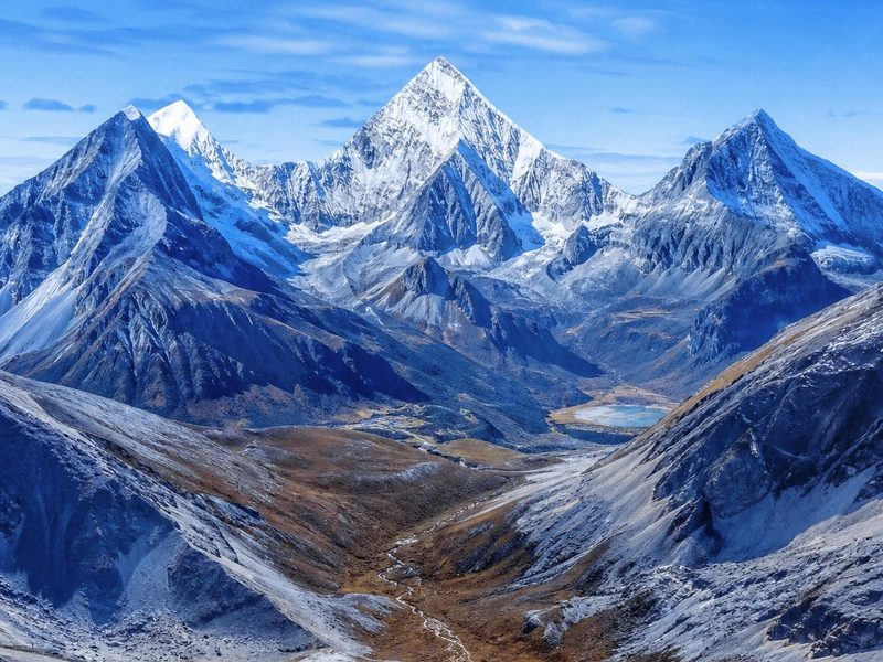
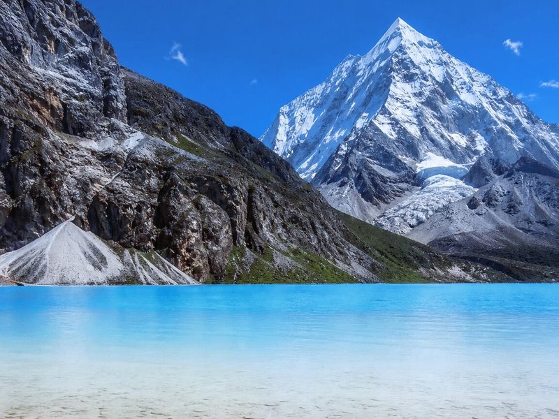
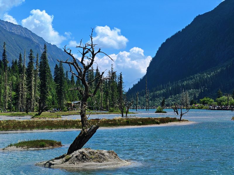
Today we explore Yading Nature Reserve. After entering the park by shuttle bus, we travel through forests and valleys toward the three sacred mountains revered in Tibetan Buddhism: Chenrezig (Xiannairi), Jampayang (Yangmaiyong), and Chanadorje (Xianuoduoji).
At Luorong Pasture, snow mountains rise dramatically above alpine meadows and rivers. Travelers can choose their hiking level:
Easier route: Chonggu Monastery → Pearl Lake — shorter distance, lower physical demand, excellent mountain reflections.
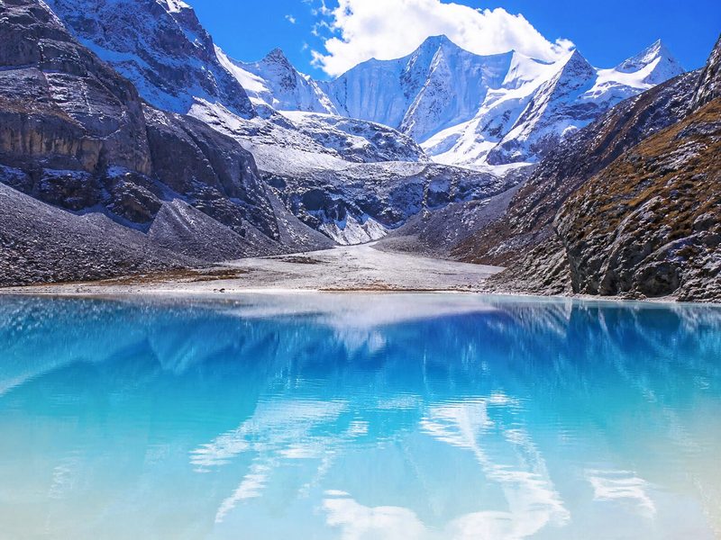
Advanced route: Milk Lake & Five Color Lake — using park eco-shuttles and optional electric carts to reach the trailhead at Luorong Pasture, then a ~10 km hike up to ~4,600m. One of the most iconic alpine hikes in China.
Your guide monitors pacing throughout. After the visit, we return to Shangri-La Town for rest and recovery.
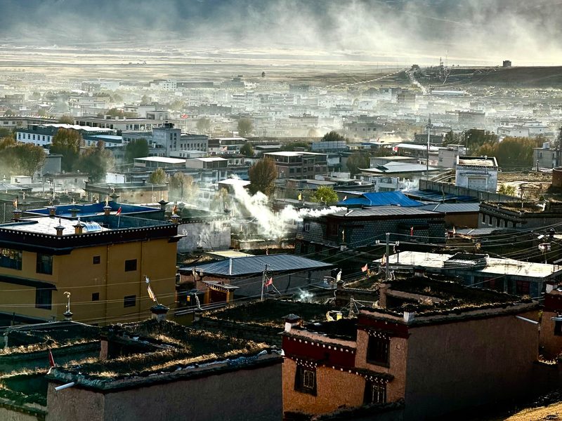
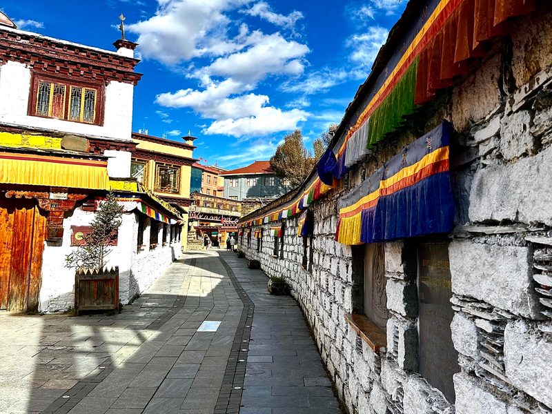
Today we return across the Tibetan Plateau with a dedicated cultural stop that the outbound journey bypassed. We head to Litang (~4,000m) — one of the highest towns in the world and an important center of Tibetan culture, history, and religious life.
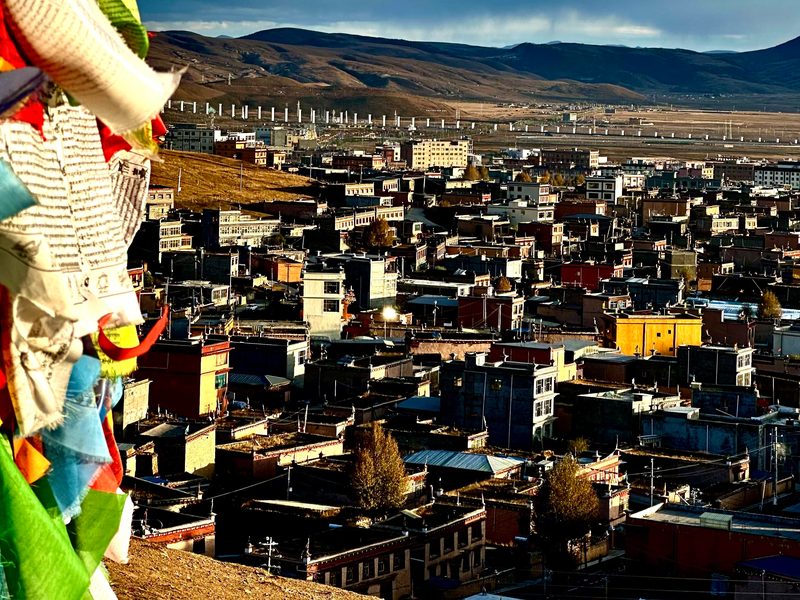
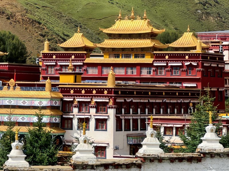
In Litang we visit Letong Ancient Town, the old heart of the settlement with traditional Tibetan architecture and street life, and Changchun Ke'er Monastery — one of the most important Gelug monasteries in the Kham region of Western Sichuan, with a striking hilltop position overlooking the town.
After the visit, we continue across the high-altitude roads back toward Xinduqiao. Staying in a familiar base after two longer travel days makes for a more relaxed evening — the second half of the journey continues tomorrow.
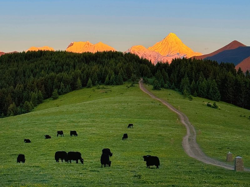
Today is intentionally slower. We explore the valleys around Jiagenba, where streams, forests, grasslands, and snow peaks create one of the most peaceful landscapes in Western Sichuan. After several days of longer drives, this slower pace gives you time to simply be in the landscape — wandering along quiet tracks, photographing wildflowers or grazing yaks, and enjoying a rare unhurried day on the plateau.
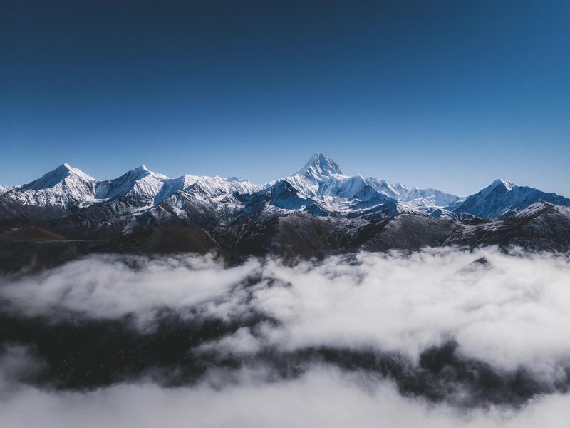
In the afternoon, we drive toward a remote viewpoint near Muyacuo / Tinong Valley for sunset views of Mount Gongga (Minya Konka) — the highest mountain in Sichuan at 7,556m. As evening light hits the snow peaks, the mountains glow gold against the plateau sky. Its glaciated summit is often wrapped in cloud during the day and only reveals itself fully at dawn or dusk, which is exactly why a clear sunset here is considered one of the trip's signature moments — bring a warm layer and be patient, since the mountain rewards those who wait for the right light. One of the most iconic moments of the entire journey.
Today focuses on Tibetan culture and highland landscapes. We begin at Tagong Grassland, where white stupas, grazing yaks, and distant snow mountains create one of the most iconic Tibetan landscapes in Western Sichuan.
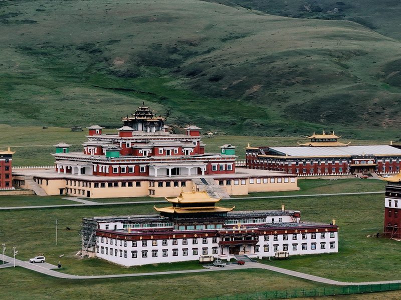
We then visit Muya Monastery, a Tibetan Buddhist monastery set against the plateau backdrop — a quieter and less-visited counterpart to the larger monastic complexes on the route, with a peaceful atmosphere well suited to the pace of the day.
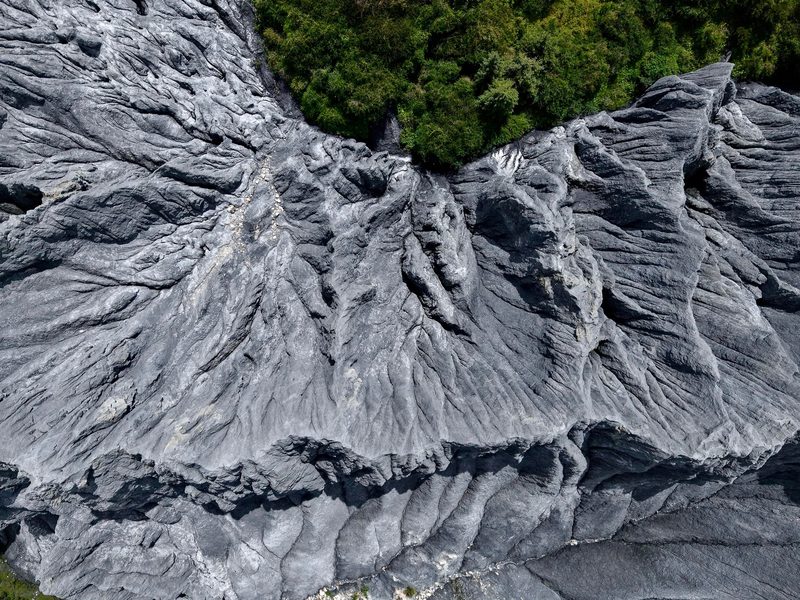
Next, we stop at Moshi Park — a striking natural landscape of dark volcanic rock formations rising from the grassland, creating an almost surreal contrast with the green plateau surroundings. One of Western Sichuan's more unusual and photogenic landscapes.
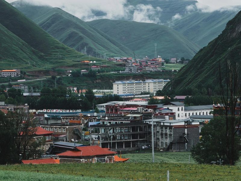
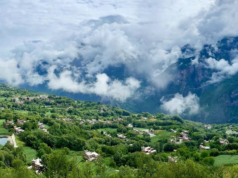
We arrive at Jiaju Tibetan Village in Danba County for the night. Set on a terraced hillside in a deep river valley at around 1,800m, Jiaju is considered one of the most scenic Tibetan villages in Sichuan — traditional watchtowers rise above stone-and-wood farmhouses surrounded by seasonal flowers and fruit trees.
We leave Jiaju Tibetan Village in the morning and climb back up from the Danba valley into the Siguniang Mountain region — the landscape shifts dramatically from the warm river valley back into high alpine terrain. It's one of the more dramatic transitions of the whole trip, compressed into just a few hours of driving.
We explore Shuangqiao Valley — often referred to as the Alps of China. Using the park shuttle system, we travel through glacier valleys, alpine forests, rivers, and snow mountain viewpoints without requiring difficult hiking. Key sights include Siguniang Redwood Forest, Budala Peak, Sigunaicuo Lake, and Renyancao Meadow.
In the afternoon, we pass through the Balang Mountain Tunnel and begin the long descent back toward Chengdu — the road transitions from alpine scenery to the familiar lowland landscapes of the Sichuan Basin. By the time you reach the outskirts of Chengdu, it's hard to believe the same trip included nights above 4,000m on the open Tibetan Plateau just days earlier.
- Comfortable private vehicle with an experienced local driverFuel, tolls and road expenses included.
- Arrival transfer in ChengduPick-up from Chengdu Shuangliu Airport or railway station to your hotel.
- Entrance tickets to all scenic areas listed in the itinerary
- 6 nights of carefully selected accommodation based on your chosen package
- Daily hotel breakfastBreakfast included at your accommodation each morning.
- Travel photographyDSLR and drone footage included where weather, location and local regulations allow.
- Portable oxygen supply — one canister per person per day
- English-language support: digital audio guides plus 24/7 WhatsApp text assistance throughout the trip
- English-speaking guide available depending on your chosen packageA private English-speaking guide can be arranged as an optional upgrade.
- Additional in-scenic-area transportation and optional activitiesSuch as local motorbike rides, horse riding, etc.
- Lunches and dinnersMeals are left flexible so you can choose what and where you would like to eat.
- Personal expensesSuch as souvenirs and other personal purchases.
- Travel insurance
Yading: one of China's most sacred alpine regions
The three sacred peaks of Yading — revered for centuries in Tibetan Buddhism — rise above one of the most unspoiled alpine landscapes in China. Most travelers never make it here. This route is designed around giving it the time it deserves.
A complete traverse of Western Sichuan
From Kangding and Xinduqiao deep into the Yading high plateau, back via Litang's ancient town and monastery, through Tagong Grassland and Moshi Park, down to Danba's Jiaju Village, and out through Siguniang Mountain — this route covers the full breadth of Western Sichuan's landscapes.
Comfortable altitude management
The biggest altitude challenge — Yading's hike — falls on Day 3, after two nights of acclimatization. Overnight at Shangri-La Town (~2,900m) ensures a more restful night before and after the hike.
Flexible hiking intensity
Yading offers both an easier viewpoint route and the full Milk Lake hike. Your guide will help assess the right level based on your fitness, weather, and how you're feeling on the day. There is no pressure to commit to the harder option.
Clothing
- Down jacket or shell jacket
- Hiking shoes (proper grip essential)
- Thermal base layers
- Hat, gloves, and sunglasses
Daily Essentials
- Sunscreen (high-altitude UV is intense)
- Lip balm (very dry air at altitude)
- Portable charger / power bank
- Reusable water bottle
For the Hike & Plateau
- Camera / drone equipment
- Energy snacks and bars
- Rain gear for mountain weather
- Small day pack / backpack
Health & Safety
- Motion sickness tablets
- Altitude sickness tablets (consult doctor)
- Personal medications
- Some cash for remote areas
Ready to explore the sacred mountains of Western Sichuan?
Message us with your travel dates and group size — we'll send you a full quote and details within a few hours.