A deep journey into the high heart of Western Sichuan — combining the sacred snow peaks of Daocheng Yading, the world's high city of Litang, the wild pilgrim country of Mount Genyen, and sunset views of Mount Gongga.
Two nights each at Shangri-La Town and Litang give you time to acclimatize properly and explore without rushing. This is a sustained high-altitude route — mostly above 3,400m, with passes reaching 4,770m — best suited to travelers who are genuinely comfortable at elevation.
Perfect for
- Travelers who want both Yading's sacred peaks and the wild Genyen country in one journey
- Those seeking authentic Kham Tibetan culture — Litang, ancient monasteries, nomadic grasslands
- Photography enthusiasts drawn to plateau light, snow peaks, and remote landscapes
- Travelers comfortable with sustained high altitude (3,400–4,700m)
- Anyone who prefers remote, uncrowded scenery over well-trodden tourist routes
| Day | Route | Overnight | Drive |
|---|---|---|---|
| Day 1 | Chengdu → Tianquan → Honghaizi Lake → Gedilam → Xinduqiao | Xinduqiao | ~360–380 km |
| Day 2 | Xinduqiao → Sky Road Eighteen Bends → Litang → Rabbit Mountain Pass → Haizi Mountain → Shangri-La Town | Shangri-La Town | ~420–440 km |
| Day 3 | Yading Nature Reserve — full-day exploration | Shangri-La Town | Shuttles + walking |
| Day 4 | Shangri-La Town → Haizi Mountain → Litang → Letong Ancient Town → Ke'er Monastery | Litang | ~220–230 km |
| Day 5 | Litang → Tiejiangshan Pass → Eye of Genyen → The Lone Tree → Litang | Litang | ~160–180 km |
| Day 6 | Litang → Xinduqiao → Mount Gongga Sunset Viewpoint | Xinduqiao | ~210 km |
| Day 7 | Xinduqiao → Gunong Village → Chengdu | — | ~380–400 km |
We leave Chengdu in the morning and climb steadily west, off the Sichuan Basin and onto the eastern edge of the Tibetan Plateau, with a stop at the Tianquan service area along the way. The drive climbs through changing terrain — river gorges, pine forest, and increasingly open grassland — as the Sichuan Basin gives way to the high plateau, with Kangding (2,560m) marking the historic gateway to Kham Tibetan Sichuan along the way.
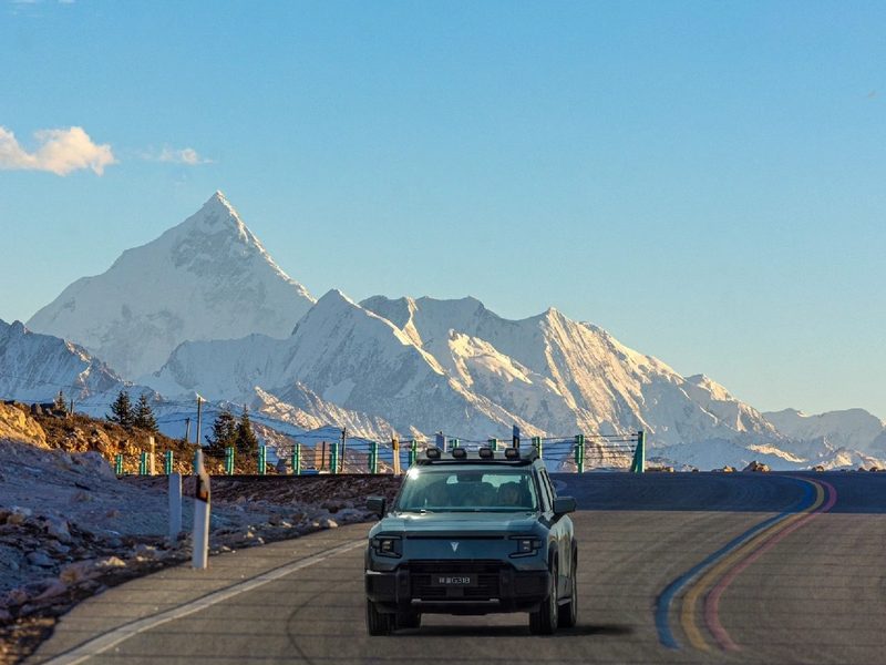
Beyond Kangding, the road turns onto the high Kangba route past Honghaizi Lake and the viewpoint of Gedilam — the "Sky City" — set on open highland around 4,200m, with sweeping plateau and snow-peak views in all directions. This stretch of the G318 is part of what many call China's own Route 66, a corridor of switchback roads and big-sky scenery that draws photographers and road-trippers from across the country.
Toward evening we descend to Xinduqiao, a Tibetan town famous for its golden light falling across rolling pastures, farmhouses, and poplar groves — one of the most photogenic places in Western Sichuan. Its shifting seasonal colors — golden poplars in autumn, blossoms in spring — have made it a favorite stop for Chinese landscape photographers for decades.
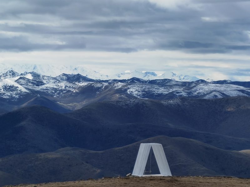
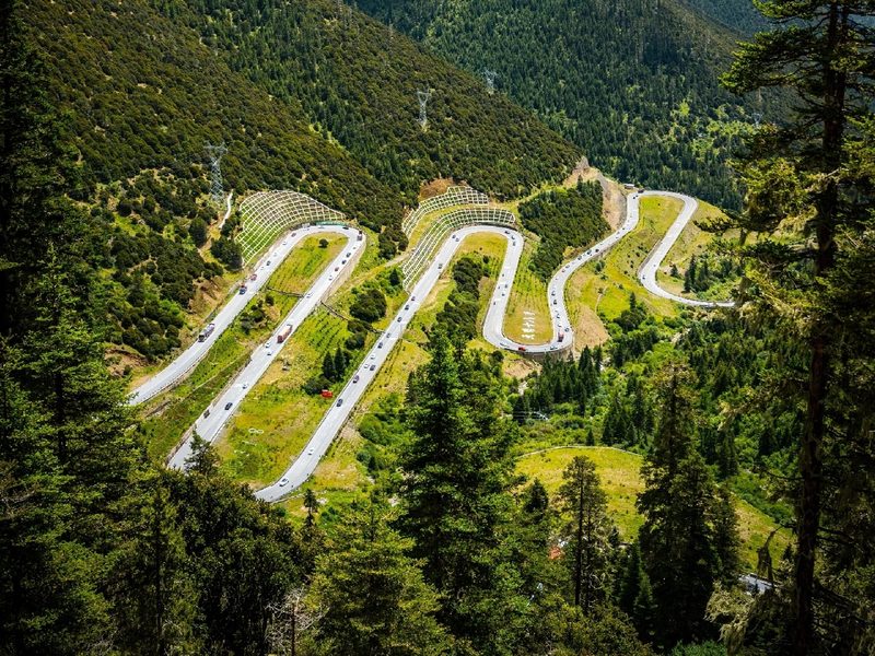
An early start for the longest driving day — a spectacular high-altitude crossing of the Kham plateau. We descend to Yajiang, then climb the Sky Road Eighteen Bends, a dramatic sequence of switchbacks with views from around 3,990m. The scenery shifts constantly through the day — river valleys, pine forest, then wide open grassland as the road gains altitude.
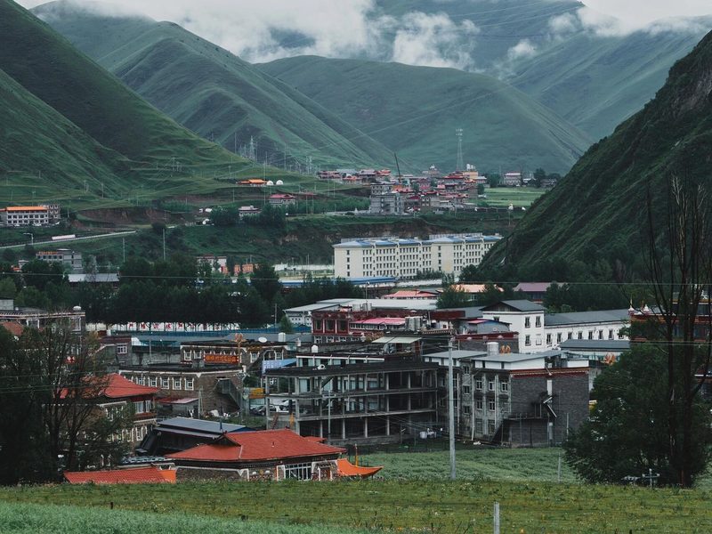
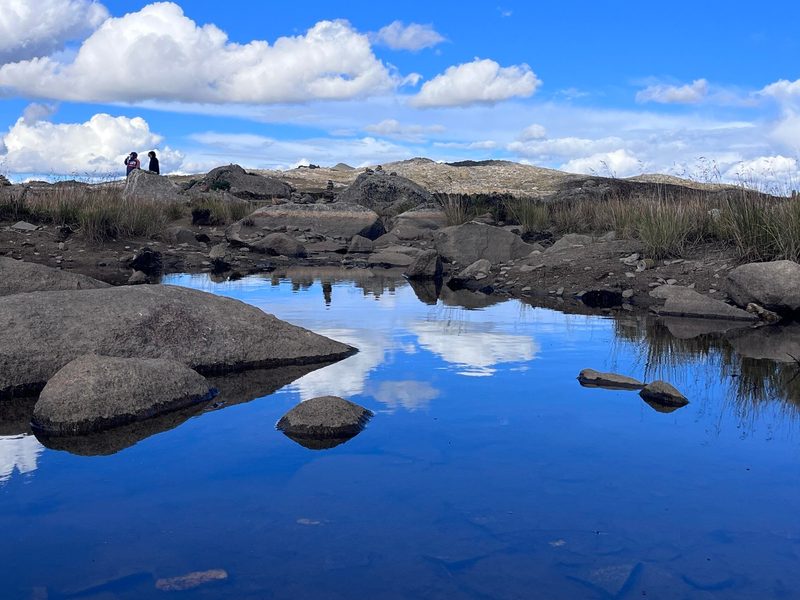
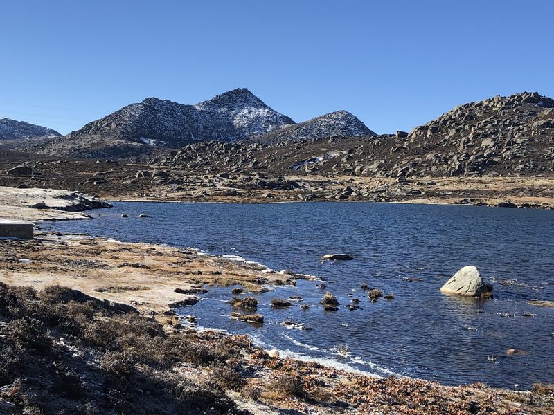
Rolling passes lead to Litang (4,014m), one of the highest towns on earth — a good pause to let the body adjust before continuing south. The G227 then crosses the Rabbit Mountain Pass (4,696m) and the vast glacial relic of Haizi Mountain — thousands of small lakes and glacial boulders spread across the plateau near 4,685m. This lake-and-boulder landscape is the legacy of ancient glaciers that once covered this part of the plateau, and it feels almost lunar under a clear sky.
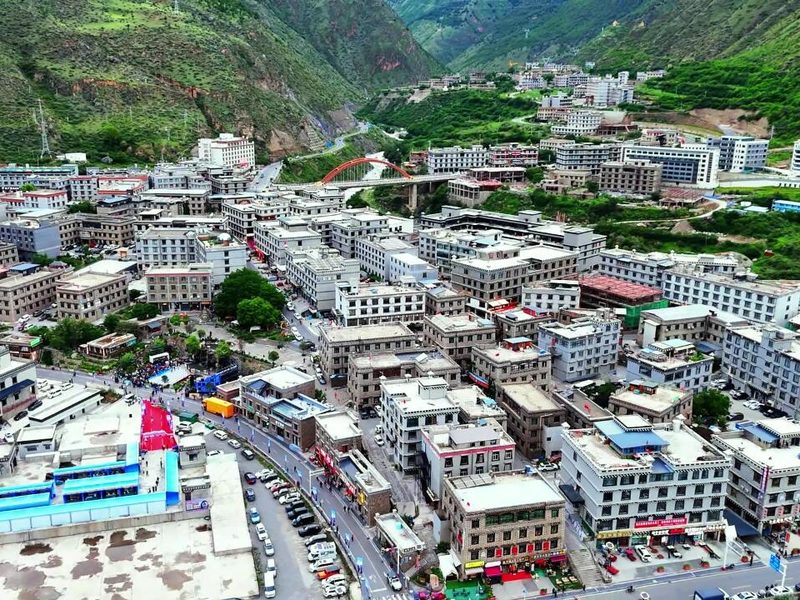
We descend into the deep valley of Shangri-La Town (~2,900m), the gateway to Yading, for two nights. Shangri-La Town sits in a sheltered valley, and after a day on the exposed plateau its lower elevation and softer air usually come as a welcome change. The lower altitude here is welcome before tomorrow's big hiking day.
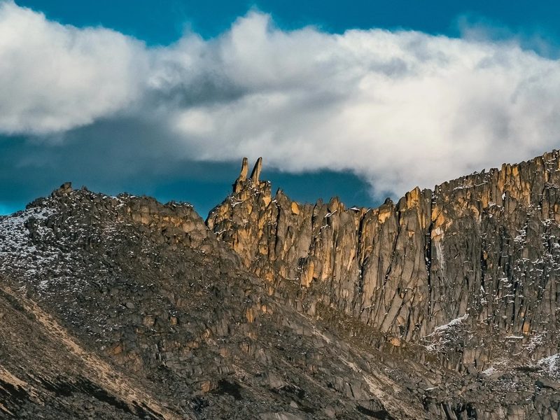
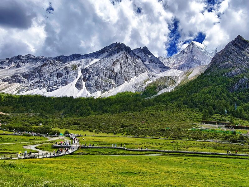
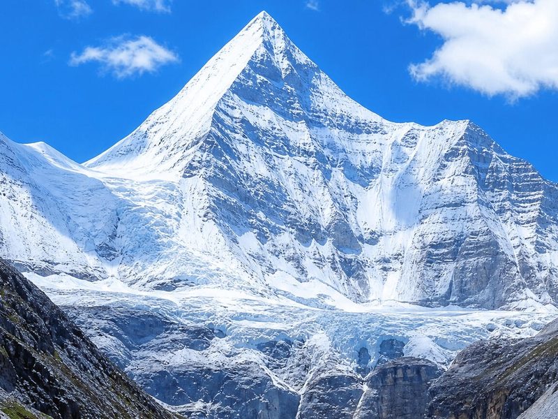
After breakfast, we transfer to the Yading Visitor Center and board the reserve's scenic bus into the heart of the reserve. Yading is built around three sacred peaks revered across the Tibetan world: Chenrezig (Xiannairi, 6,032m), Jampelyang (Yangmaiyong, 5,958m), and Chanadorje (Xiannuoduoji, 5,958m). These three peaks form the spiritual core of the reserve and have drawn Tibetan pilgrims for centuries, long before the area opened to outside visitors.
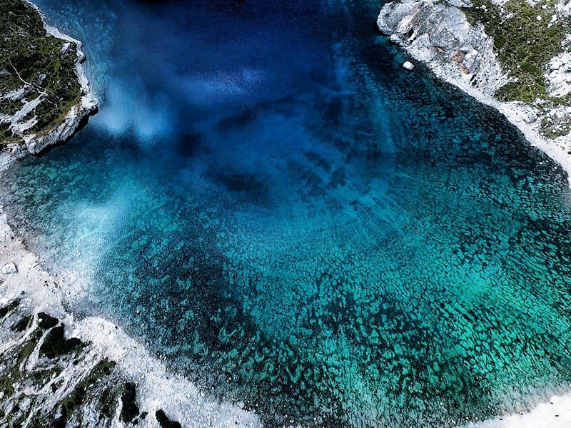
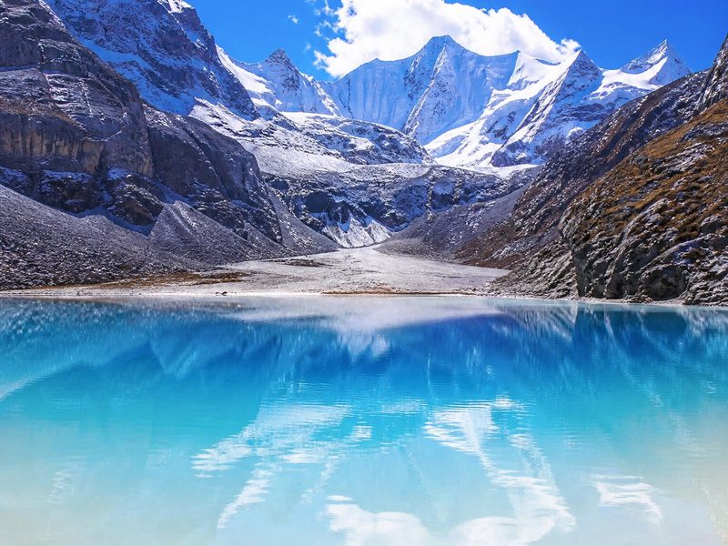
From Zhaguanbeng we walk or take an electric cart to Luorong Pasture (4,180m), a broad alpine meadow beneath the peaks. The classic hike continues past Shechen Cliff toward the sacred high lakes — Milk Lake and Five-Color Lake at 4,600–4,700m. The reward for reaching the upper trail is one of the most photographed alpine scenes in Western China — turquoise water set directly beneath glaciated rock, framed by prayer flags left by pilgrims who came before. How far you go depends on how you're feeling; your guide will help set a realistic pace. We return to Shangri-La Town in the evening.
A shorter, more relaxed driving day — we retrace north over Haizi Mountain and the high passes back to Litang, with time to enjoy the plateau scenery in the morning light. Retracing the route in the opposite direction reveals a different mood entirely — the same passes and grasslands look softer in the morning light than they did on the way out, and with no pressure to cover long distances, the pace stays easy.
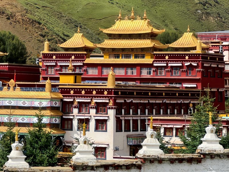
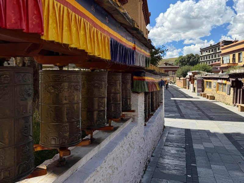
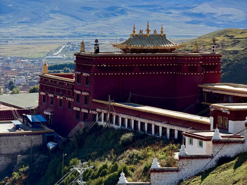
In Litang we explore the Letong Ancient Town, the old Tibetan quarter of whitewashed houses and prayer flags, and visit the Changqingchun Ke'er Monastery (Ganden Thubchen Choekhorling) — Litang's great 16th-century Gelugpa monastery, one of the most important in Kham. Inside, maroon-robed monks go about daily prayer and debate rituals largely unchanged for centuries, and the monastery's golden roofline is visible from much of the town below. Litang is also known across Kham for its strong nomadic Khampa culture and horse festival tradition, still visible in the dress and dialect of people on its streets. We check in for two nights.
Today reaches into the wild, sacred landscape of the Genyen Southern Route, in the shadow of Mount Genyen (6,204m) — one of the holiest mountains in Tibetan Buddhism, sometimes called "the last Shangri-La." Pilgrims from across the Tibetan world make the journey here on foot, and the mountain is revered for its beauty and spiritual power, not simply for its height.
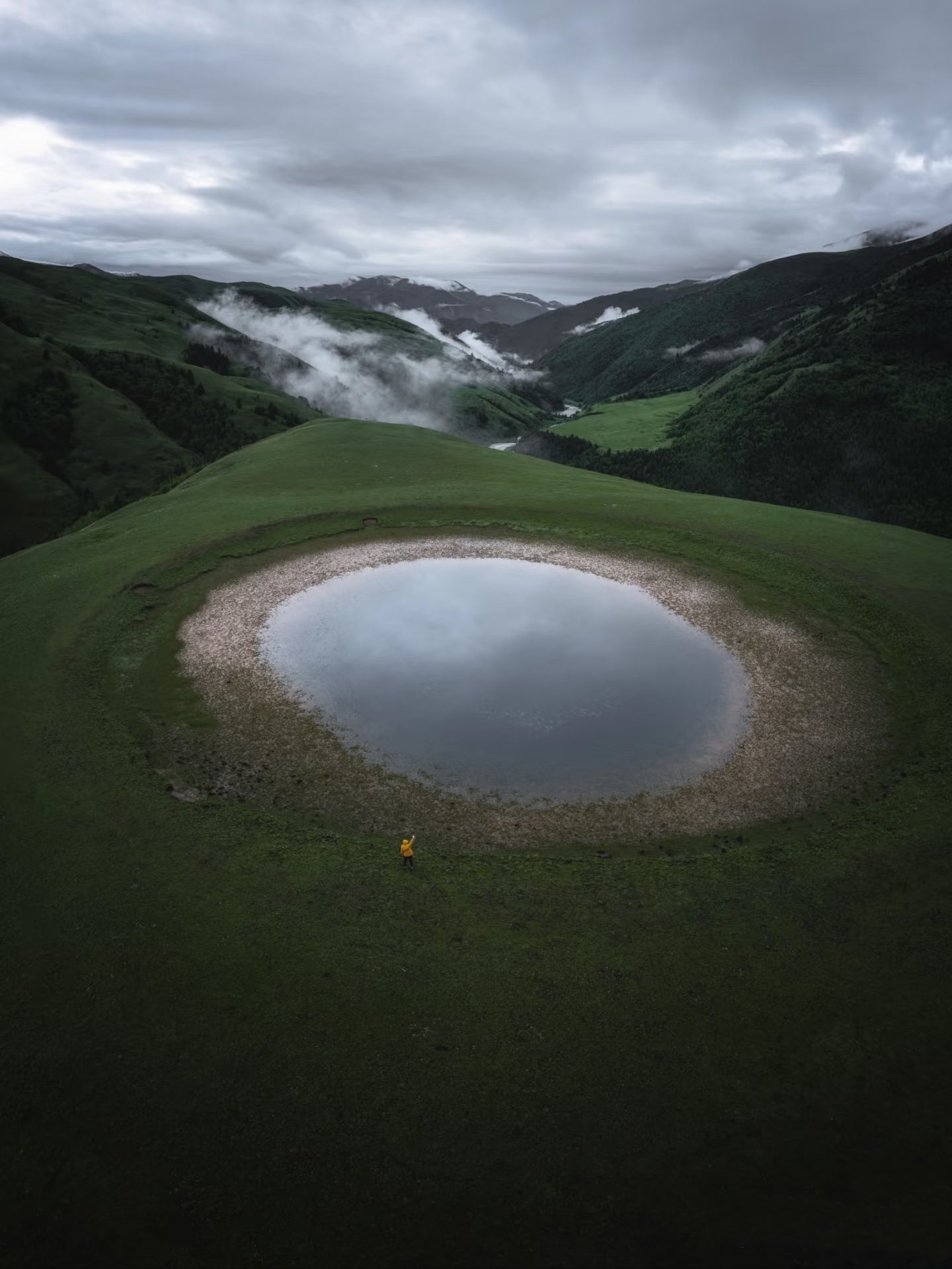
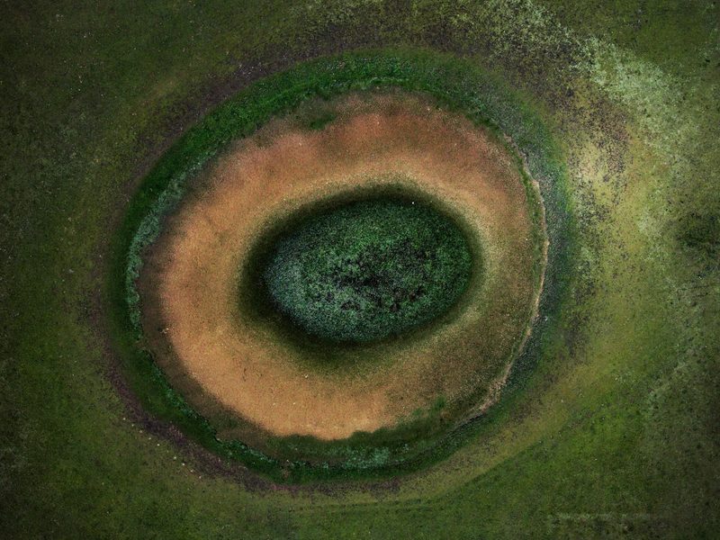
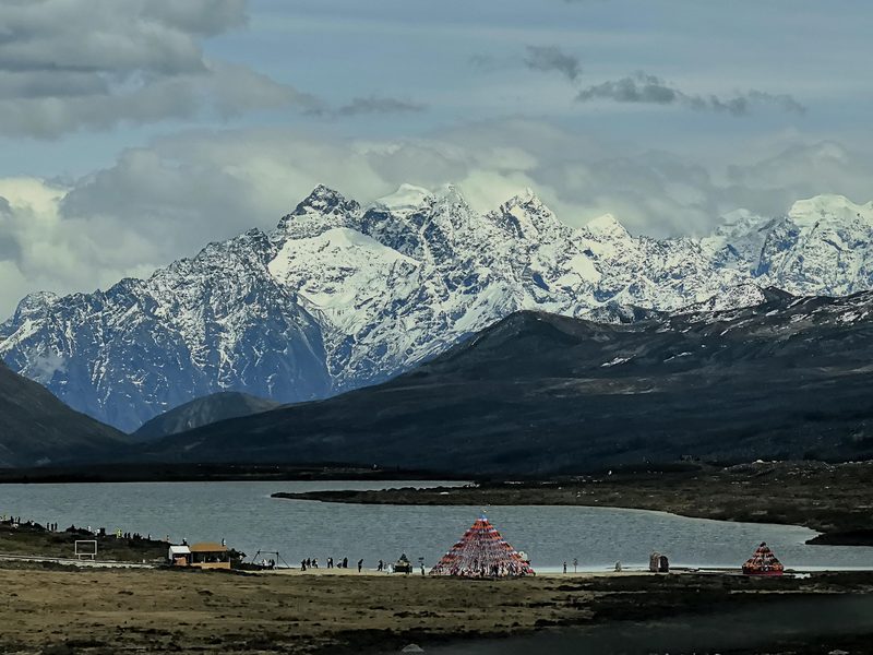
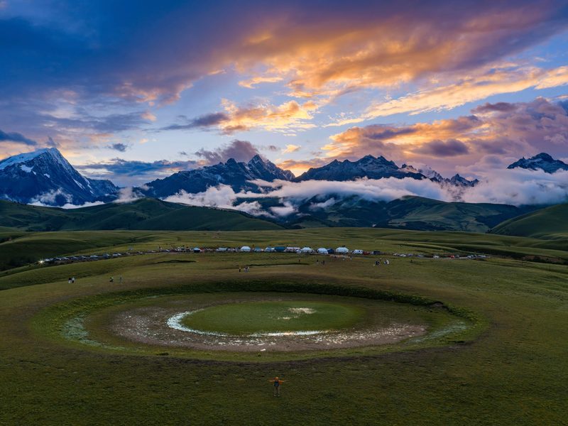
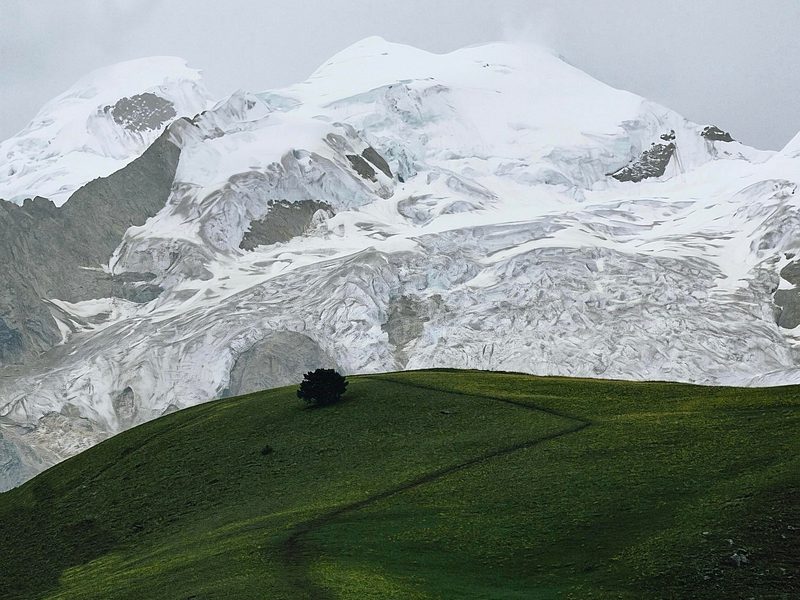
We cross the Tiejiangshan Pass (4,770m — the highest point of the entire trip) into open grassland and pilgrim country. The centerpiece is the Eye of Genyen, a near-perfectly round spring set into the meadow like an eye gazing up at the sky — some travelers compare it to a mirror laid flat into the earth, reflecting sky and cloud with almost no ripple on a calm day. Nearby stands the solitary Lone Tree, an emblem of the region's stark, windswept beauty. We return to Litang in the evening.
After breakfast, we drive back east on the G318 toward Xinduqiao, recrossing the high passes in the changing afternoon light. The familiar road reveals new moods as you travel with days of high-altitude experience behind you. After nearly a week above 3,000m, many travelers notice how differently the body reads the altitude now — the passes that felt demanding on day one often feel routine by this point in the trip.
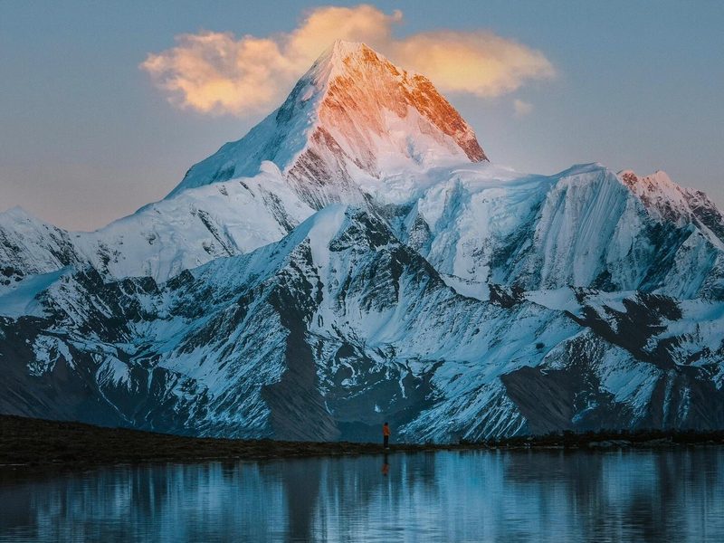
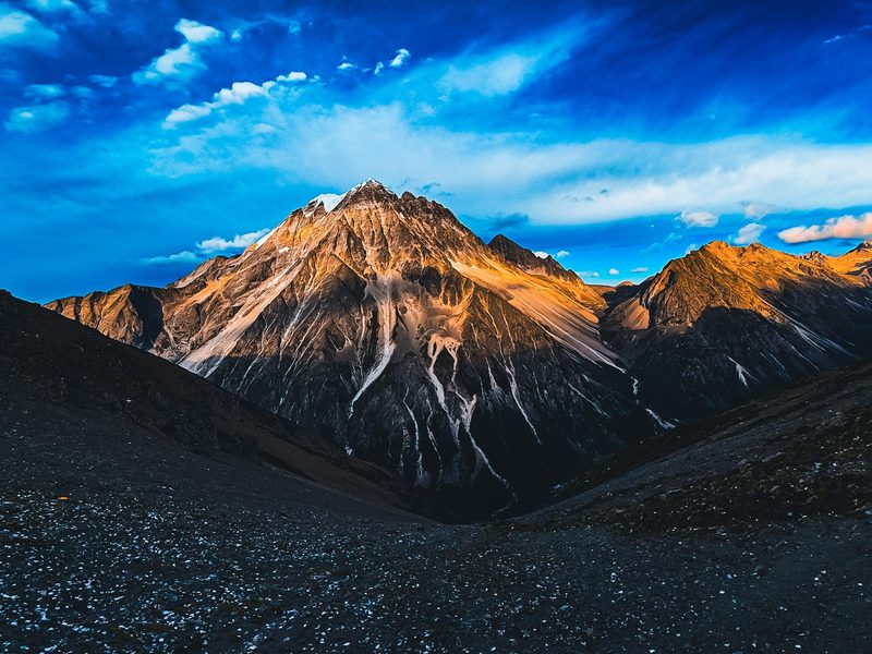
In the late afternoon, we head to a Mount Gongga sunset viewpoint. At 7,556m, Gongga is the "King of Sichuan Mountains," and on a clear evening its summit catches the last light in a deep alpenglow. Also known as Minya Konka, it is the highest peak in Sichuan and one of the most striking massifs on the eastern edge of the Tibetan Plateau — its glaciated summit is often wrapped in cloud during the day and only reveals itself fully at dawn or dusk, which is exactly why a clear sunset here is considered one of the trip's signature moments. Your guide will choose the best accessible viewpoint for the day's weather.
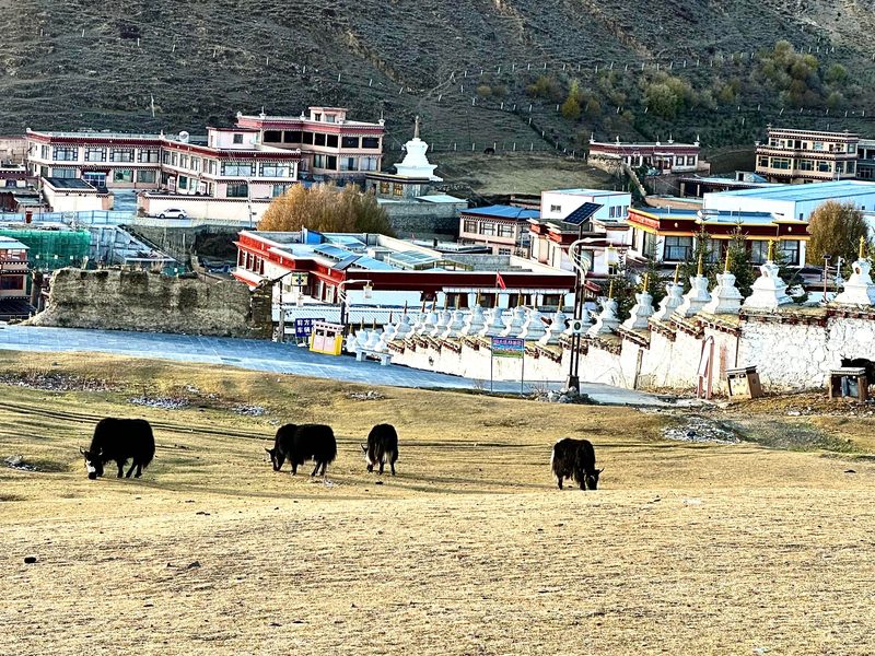
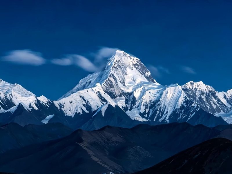
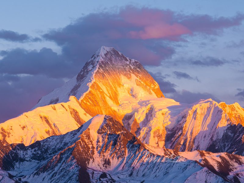
After breakfast, we make a short detour to Gunong Village, set beneath the sacred Yala Snow Mountain — a quiet, final scene of Tibetan homes, pasture, and peaks before the long descent home. Gunong faces Yala Snow Mountain directly across an open valley, and the village's slower pace makes it a fitting place to pause before rejoining the modern world — prayer flags strung between rooftops, yaks grazing on the slopes, and very little else to interrupt the view. It's often the quietest, least-visited stop of the entire trip, precisely because it isn't on the way to anywhere else.
From here, the route rejoins the expressway and drops steadily off the plateau back to Chengdu, arriving in the evening. The change happens gradually at first and then all at once: pine forest gives way to terraced farmland, farmland gives way to the outskirts of the city, and within a few hours the thin mountain air is replaced by the warm, humid lowlands of the Sichuan Basin. Your guide will set the pace with rest stops along the way, and there's time to reflect on a week that took you from Chengdu's city streets to some of the highest, most remote pilgrim country in the Tibetan world and back again. The descent in altitude usually feels wonderful after so many days above 3,000m.
- Comfortable private vehicle with an experienced local driverFuel, tolls and road expenses included.
- Arrival transfer in ChengduPick-up from Chengdu Shuangliu Airport or railway station to your hotel.
- Entrance tickets to all scenic areas listed in the itinerary
- 6 nights of carefully selected accommodation based on your chosen package
- Daily hotel breakfastBreakfast included at your accommodation each morning.
- Travel photographyDSLR and drone footage included where weather, location and local regulations allow.
- Portable oxygen supply — one canister per person per day
- English-language support: digital audio guides plus 24/7 WhatsApp text assistance throughout the trip
- English-speaking guide available depending on your chosen packageA private English-speaking guide can be arranged as an optional upgrade.
- Additional in-scenic-area transportation and optional activitiesSuch as local motorbike rides, horse riding, etc.
- Lunches and dinnersMeals are left flexible so you can choose what and where you would like to eat.
- Personal expensesSuch as souvenirs and other personal purchases.
- Travel insurance
Two great landscapes in one journey
Daocheng Yading's iconic three sacred peaks paired with the wild, little-visited pilgrim country of Mount Genyen — a rare combination that very few independent travelers ever manage.
Time to acclimatize properly
Two nights each in Shangri-La Town and Litang mean less repacking and more time to adjust to altitude, explore, and absorb the culture without rushing.
Private travel makes the remote reachable
There is no convenient public transport linking Yading, Litang, and the Genyen Southern Route. A private vehicle makes these roads accessible and lets the trip respond to weather and conditions.
Gongga sunset on the way home
Rather than simply retracing the G318, Day 6 adds a sunset over Mount Gongga — the highest peak in Sichuan — as a parting gift from the plateau before the final descent.
Clothing
- Down jacket (essential even in summer)
- Windproof / shell jacket
- Warm base and mid-layers
- Hiking shoes with good grip
- Hat, gloves, and sunglasses
Daily Essentials
- Sunscreen and lip balm
- Insulated water bottle
- Portable charger / power bank
- Camera and drone equipment
- Motion sickness medication
For Yading & Genyen Days
- Supplemental oxygen (recommended)
- Trekking poles (for Yading high-lake hike)
- Light snacks and energy bars
- Small day pack
- Rain jacket or compact rain gear
Documents & Practicalities
- Passport or required ID
- Cash (card machines scarce in remote areas)
- Altitude medication (consult your doctor)
- Travel insurance documents
Ready for the Genyen & Yading loop?
Message us with your travel dates and group size — we'll send a full quote within a few hours.